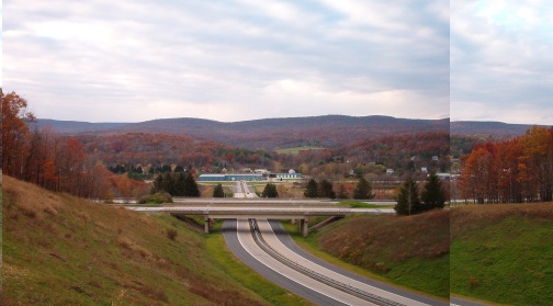
| Looking east from the slope of the Bald Eagle Mountains
towards the battlefield. The battle lines would have stretched from
the Besh River branch, just past the highway bridge over the slopes of the two hills
in the center of the picture.
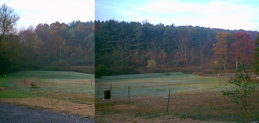
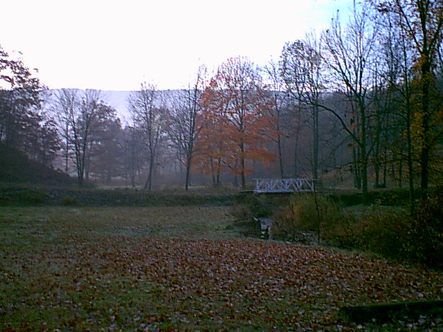
Fyk (Grazierville) is to the right behind the colorful grove of trees. Fry creek flows through the valley between the hills. It's my view that some of Piper's naming took inspiration from the local features, thus Fry/Fyk, Dick's/Darax. This was a hint I took for locating this site. |
 |
| An enlargement of the above shot's key area showing the approximate ground level, invisible in the trees, but quite possibly treeless in Piper's time. It is flat on the left of the Hostigi lines up to the slopes of the hills. Kalvan's right wing would have moved down the slope in the fog, ending up behind the hill on the Saski left. A left turn found them marching up hill, then flattening out again. All of which seems to fit this site. | 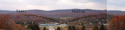 |