The Kalvan Tour--Page 8
Sinking Valley and the Barrens
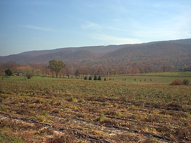
While the Battle of Fyk and the seizure of Sask was going
on on the other side of the mountain we face in this picture, Chartiphon and
the Army of the Besh had seized Sinking Valley. This was as important
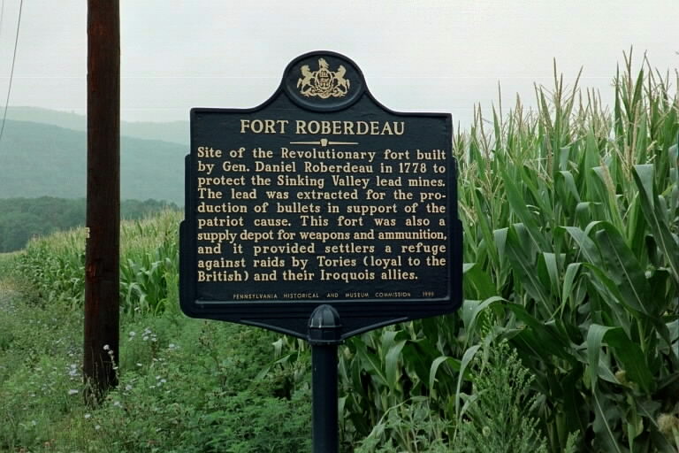
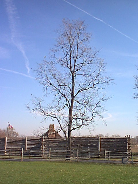
a supply of lead in the Aryan Transpacific timeline as in the Europo-Columbian. Below is a reproduction of Fort Roberdeau, built to protect the lead mines during the American War of Independence. |
I wonder if Piper was getting tired of
thinking up names by the end of the book? In any case, his
descriptions of Sinking Valley and The Barrens both use names found on
current topographic maps. This is a shot of an Amish farm in the heart of Sinking Valley. They don't show up well here, but the dark objects in line in the right center are sheaves of grain, not dissimilar, I suspect, to those one might see on a Zarthani farm in the same fields, plowed by similar horses. |
The Barrens |
The Barrens deserves the name. Like
much of the countryside in the area, it is rocky, but here the rock seems
to overwhelm the view. The Barrens proper (below) appears to be an
overgrown marshy area, not fit for cultivation of any kind, as below. We can see why Kalvan wasn't too distressed by the thought of giving part of this land to Balthames for the new princedom of Sashta. |